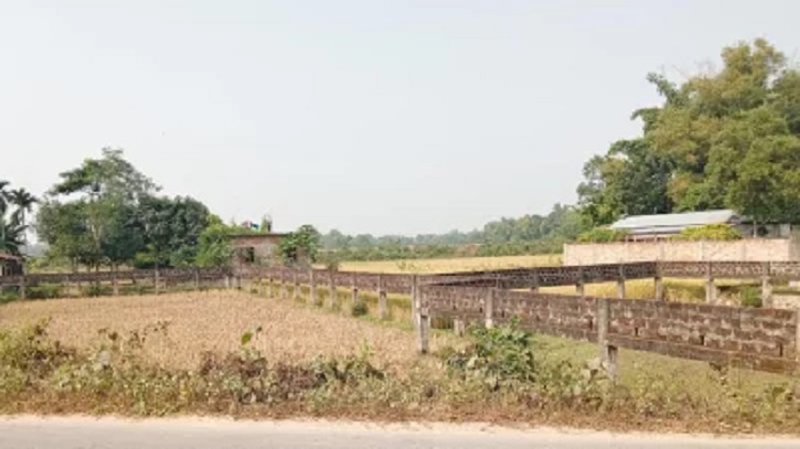
The agricultural land area in Rangpur is shrinking at an alarming rate due to industrialization, urban expansion, and population growth. Over the past five years, at least 1,500 hectares of farmland have been converted for non-agricultural use, including many three- and four-crop fields. Agricultural officials and experts have expressed deep concern, warning that the continued loss of farmland could threaten national food security.
Once known for producing surplus crops that supported other regions, Rangpur is now struggling to maintain self-sufficiency for its 3.2 million residents. The growing encroachment of industrial and residential development has caused a steady decline in cultivable land. Farmland is being replaced by housing projects, factories, and business establishments, significantly altering the rural landscape.
A field survey revealed that along major highways—including Rangpur-Dhaka, Rangpur-Kurigram, Rangpur-Pirgachha, Rangpur-Badarganj, Rangpur-Dinajpur, and Rangpur-Gangachhara—numerous houses, hotels, filling stations, and commercial structures have been built on once-productive agricultural plots. In Kharuvaja, Gangachhara upazila, an auto rice mill is being constructed on arable land. Locals have recently lodged a written complaint with the authorities, citing environmental pollution concerns from the project.
When asked about the conversion, landowner Abdul Kuddus said, “The land is mine. Farming is no longer profitable, so I am building an auto rice mill. One has to survive somehow.”
Nazrul Islam, a resident of Ikarchali in Taraganj upazila, said, “The government acquired land for road expansion, and now both government and private institutions, as well as small factories and houses, have been built on once fertile multi-crop fields. If this continues, food production will inevitably suffer.”
Mobarak Ali, a farmer from the Chobbish Hazari area of Rangpur City Corporation, said, “A decade or two ago, this entire area was covered with farmland. Now roads, housing projects, and businesses are springing up everywhere.”
According to data from the Department of Agricultural Extension (DAE), the total cultivable land in Rangpur was 191,100 hectares five years ago. The figure has now fallen to 189,514 hectares, with an additional 280 hectares temporarily fallow. Although the diversity of crop production has increased, officials warn that without immediate intervention, the agriculture-based economy could be at serious risk.
Rangpur district covers 240,060 hectares, with a population of 3,169,615, up from 3,072,106 five years ago. About one-fifth of local farmers are landless, and wealthy or large-scale farmers are rare—only around 6,000 are classified as major landholders.
Advocate Palash Kanti Nag, advisor to the Rangpur Homestead and Farmland Protection Committee, said, “Under the guise of industrialization and urbanization, agricultural land is being destroyed. This trend poses a grave threat to future generations. Rangpur’s economy depends heavily on agriculture, and yet fertile land is being lost to development. Food security in the region will soon be in jeopardy.”
Sirajul Islam, Deputy Director of the DAE in Rangpur, stated, “There is no completely fallow land in Rangpur. Every plot is cultivated at some point during the year. Due to improved agricultural practices and increased farmer training, overall production remains stable and even surplus. However, it is essential to prevent the conversion of fertile land for non-agricultural use, as the regional economy is still largely dependent on agriculture.”
Abdus Salam, Deputy Director of the Department of Environment in Rangpur, noted that his department monitors environmental threats such as brick kilns, while the responsibility for protecting agricultural land lies with the Agriculture Department.
Experts continue to warn that if current trends persist, Rangpur’s transformation from an agricultural heartland into an industrial and urban zone could have long-term consequences for food production and rural livelihoods across northern Bangladesh.


